Prepared by Corey Davis, Assistant State Climatologist, State Climate Office of North Carolina, and Darrian Bertrand, Applied Climatologist, formerly of the State Climate Office. Managed by the NC State Climate Office Environment & Climate Observing Network
- Chart of First and Last Frost Dates by County
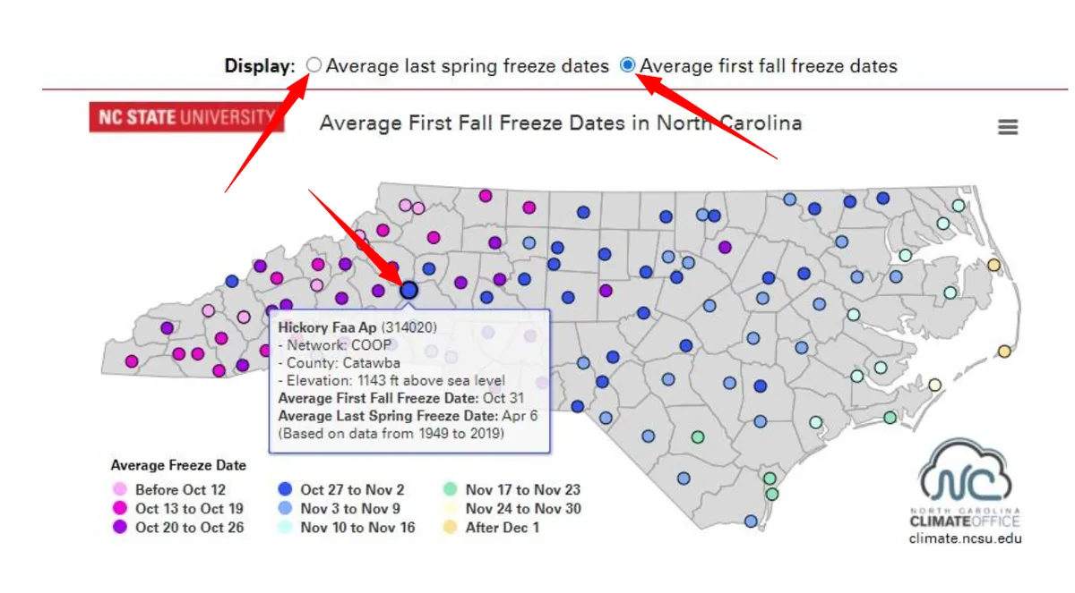
- Interactive Map of First and Last Freeze Dates by County
- Managing frost in the garden
With appreciation to Wake County Master Gardener℠ Volunteer Thomas Packer for his assistance on this project.